

New & Promotional
Cao Bang Loop vs Ha Giang Loop: Which One Should You Ride?
Table of contents
- The question splits motorbike travelers into two camps. Veterans of Vietnam's northern roads argue endlessly about which loop delivers the better experience. Ha Giang gets the fame. Cao Bang gets the whispers.
- The Ha Giang Loop: The Famous One
- The Cao Bang Loop: The Underrated Alternative
- Road conditions and difficulty
- Getting there
- Weather and best time
The question splits motorbike travelers into two camps. Veterans of Vietnam's northern roads argue endlessly about which loop delivers the better experience. Ha Giang gets the fame. Cao Bang gets the whispers.
10 min read·Updated on July 1, 2026
The Ha Giang Loop: The Famous One
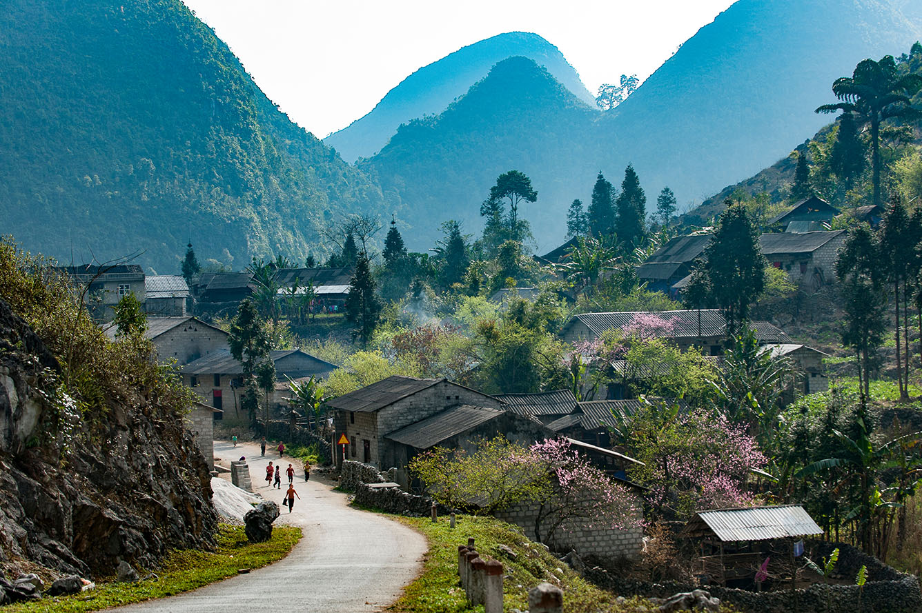
Ha Giang province sits at Vietnam's northernmost point. The loop typically starts and ends in Ha Giang City, running through Quan Ba, Yen Minh, Dong Van, and Meo Vac. The total distance is 300 to 400 kilometers depending on the route.
The road crosses four major mountain passes. Ma Pi Leng Pass is the crown jewel, a dramatic cliff-hugging stretch above the Nho Que River. The views are staggering. The switchbacks are relentless. The altitude hits 1,500 meters at several points..
The Cao Bang Loop: The Underrated Alternative
Cao Bang province lies east of Ha Giang. The loop covers 250 to 300 kilometers and can be completed in two to three days. The route goes from Cao Bang City to Ban Gioc Waterfall, then loops back through Nguyen Binh and the Phia Oac-Phia Den area.
The roads are wider and less congested. The passes are gentler. The traffic is sparse. This makes Cao Bang a better option for less experienced riders or anyone who wants to focus on the scenery rather than survival.

The loop also includes Pac Bo Cave, where Ho Chi Minh lived after returning from China in 1941. The historical site is modest but meaningful. The Phia Oac-Phia Den National Park offers hiking trails through mossy forests and past abandoned French mining infrastructure.

Cao Bang feels less commercialized than Ha Giang. Homestays are simpler. Guesthouses are cheaper. The local markets, like the one in Cao Bang City, serve locals first and tourists second.
Road conditions and difficulty
The most practical difference between the two loops is the riding difficulty.
Ha Giang demands respect. The Ma Pi Leng Pass has steep drops with no guardrails. The road to Lung Cu (Vietnam's northernmost point) is narrow and rough in sections. Rain turns the surface into a slick hazard. Riders need experience with hairpin turns and altitude shifts.
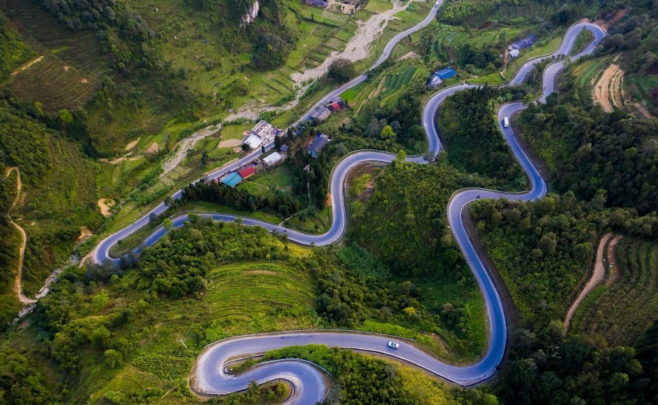
Cao Bang is more forgiving. The road to Ban Gioc Waterfall is flat and straight for long stretches. The mountain sections near Nguyen Binh have curves but few extreme gradients. A rider with basic motorbike skills can handle Cao Bang without anxiety.
Getting there
Both loops start from their respective provincial capitals. Ha Giang City is 300 kilometers from Hanoi. Cao Bang City is 270 kilometers from Hanoi.
Sleeper buses run from Hanoi to both cities. The trip takes six to eight hours and costs 200,000-350,000 VND ($8-14). Limousine vans are faster and more comfortable at 400,000-600,000 VND ($16-24).
Weather and best time
The best months for both loops are September to November and March to May.
September to November has clear skies, comfortable temperatures, and golden rice harvests. March to May has blooming flowers and moderate heat.
December to February is cold. Temperatures at altitude drop to 5-10°C (41-50°F). Fog and drizzle reduce visibility. June to August is the rainy season. Landslides and flash floods can close roads.
Cao Bang handles rain better than Ha Giang. The roads are less prone to landslides. The lower altitude means warmer temperatures in winter.
Source: https://www.vietnamtourism.com